Explore Crete
the guide to real Crete
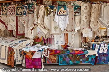

Magical Crete
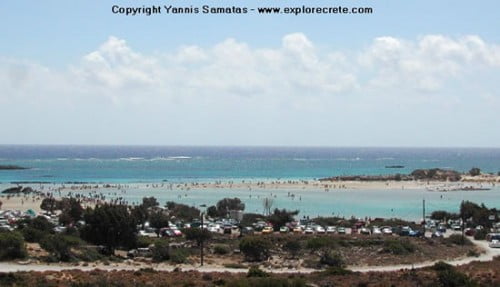
Crete is an island with an exquisite 1,000-kilometre coastline, dotted with coves, bays and peninsulas, offering a multitude of soft, sandy beaches along the beautiful blue Mediterranean Sea. They’re some of the finest in the world and have established Crete as one of Europe’s most popular holiday destinations.
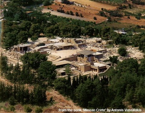
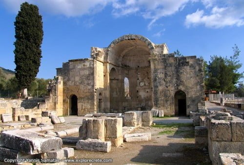
And, of course, the island’s historical importance in the modern world as the home of the Minoan civilisation, with important archaeological finds at Knossos, Phaistos and Gortys, is evidenced by the tens of thousands of visitors to these sites every year.
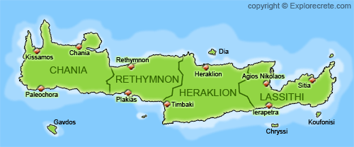
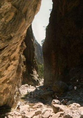
However, Crete is the largest island in Greece – the fifth largest in the Mediterranean – and within its diverse area of more than 8,000 square kilometres there are many other gems just waiting to be discovered by the more adventurous holiday treasure seekers.
If you haven’t yet visited Crete, this summer could be the time to discover this fascinating Greek island. If it captures your heart, don’t worry. Come back next year and Crete will welcome you again with the smiling Cretan sun, the sound of the Cretan lyre, the scent of orange blossom and jasmine, a slice of cool red watermelon and a glass of iced raki.