White Mountains in West Crete
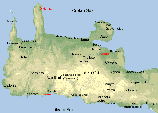
“Lefka Ori” or White Mountains Range
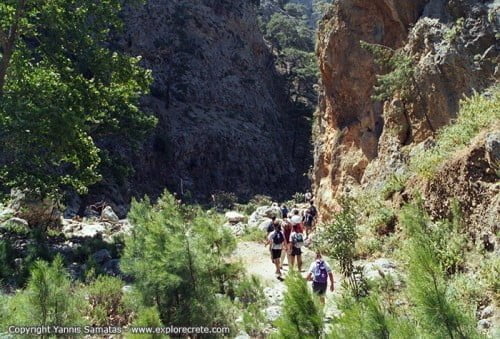
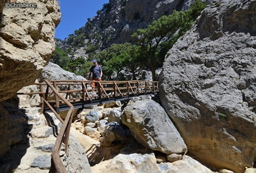
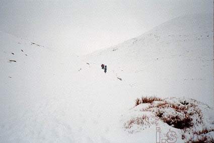
White Mountains or (Lefka Ori in Greek) is the major mountain range in west Crete; there are 58 summits higher than 2,000 metres (6500 ft) in it. The higher summit is Mt Pachnes (2453 m, 8048 ft), just 9 ft lower than Mt Idi. Trekking in Lefka Ori is not easy. Serious mountaineering experience and equipment are necessary in winter. In summer the main problem are high temperatures and the lack of any shadow.
Mt Melidaou
A pleasant trekking route is Mt Melidaou (2133 m, 6998 ft). From Omalos Plateau you follow the signs to Kallergi’s shelter. There is a dirt track leading there in about 1,5 hrs.
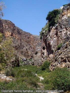
The shelter is located at 1780 m, high above Samaria Gorge, and the views are spectacular.
If you want to spend the night in Kallergi’s shelter, then you have to call the Mountaineering Club of Chania (tel. 28210-44647). The shelter ‘s open from May to October
As you are approaching the shelter do not turn right to it, but keep going straight up, until you see the E4 signs. Pay attention to the red dots too. Follow this path up to the Psari summit (1900 m) and then , for the next 2 hoursrs, walk on the mountain’ s crest up to Mt Melidaou summit. A short time before the summit you have to leave the E4 path, as it is passing under it, leading to Svourichti shelter (2000m), Mt Pachnes summit, Mt Zaranokefala summit and Anopolis village.
Mt Kastro, Tavri Plateau, Niato Plateau
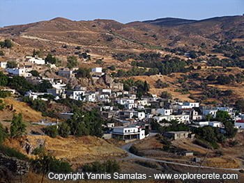
A different trekking route is from Askifou Plateau (on the road from Vrysses to Sfakia) to Mt Kastro summit. As soon as you get to Askifou village ask for the dirt road (7,5 kilometres) leading to Tavri shelter. This shelter is located at 1200 m high, 45 persons can be accommodated in it and you have to call the Chania Mountaineering Club, if you want to stay there. If you prefer to walk to the shelter of Tavri, then you can take the path (yellow dots) from Askifou. You will need 1,5 to 2 hours to reach the shelter.
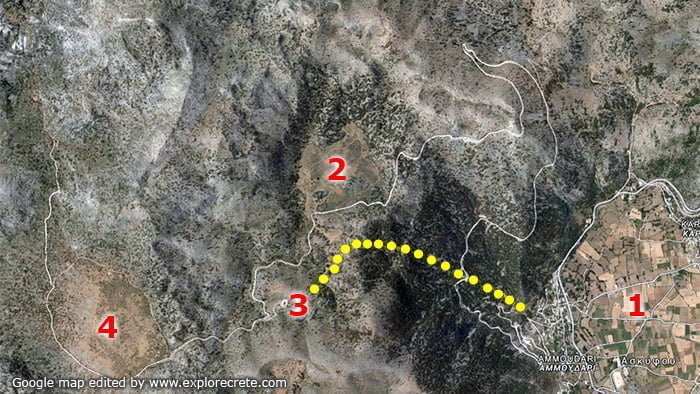
Keep walking past the shelter up to Niato plateau. The road leading from Askyfou village to Niato plateau is going through a pine-tree forest and it is a scenic route. At the end of the dirt road try to locate the E4 signs.
Move along it for the next 1 hour up to the mountain’s crest. As long as you notice that the E4path is going down to the right, leave it and keep moving along the crest of the mountain following the red dots. In a short time you will be on a summit and right above it you will see the Mt Kastro summit. You have to go slightly down (about 100 m) and then up again. In 30 minutes you will be on the summit and enjoy the spectacular view.
The time needed is 5-6 hours to the summit and 4 hours back. This time applies to summer, as fog and ice may greatly increase it in winter.
© explorecrete.com All Rights Reserved. Reproduction or copying without permission is prohibited.